
CAD | GIS | Photogrammetry
-Innovative Mapping Solutions and Advanced GIS and CAD Services to Visualize and Analyze Your World.
From Data to Design
Integrated GIS, CAD, and Photogrammetry Services That Bring Your Projects to Life.
At 99Visual, we are passionate about harnessing advanced technologies to provide precise, detailed, and reliable data solutions. Our expert team is equipped with the latest tools and software to meet the needs of industries ranging from urban planning to environmental monitoring. We bring together CAD (Computer-Aided Design), GIS (Geographic Information Systems), LIDAR (Light Detection and Ranging), and Photogrammetry to provide comprehensive and customized services that ensure your projects are accurate, efficient, and impactful.
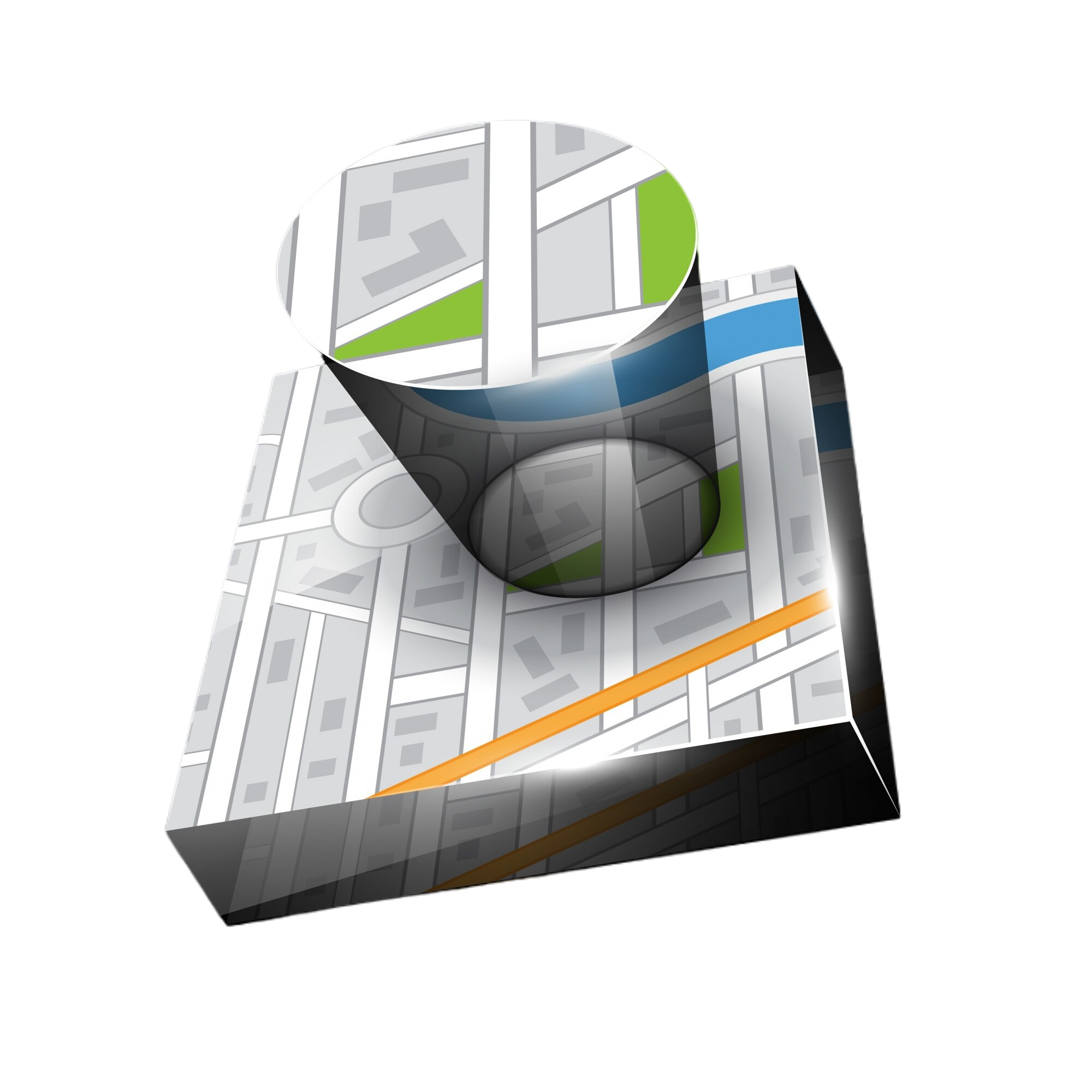
GIS(Geographic Information System) -
Leverage the power of Geographic Information Systems (GIS) to visualize and analyze spatial data. Our GIS services offer comprehensive mapping solutions that support decision-making and strategic planning with up-to-date, accurate geographic information.
Key Features:
- Custom Map Creation
- Spatial Data Analysis
- Advanced Geospatial Visualization
Geospatial:
Geospatial is an adjective which relates to geospatial data and information.
Geospatial may also refer to: Geospatial analysis Geospatial imagery, Geospatial intelligence, Geospatial technology.
99 Visual Solutions offers the latest GIS technologies to deliver solutions to government and commercial clients worldwide.
We digitize the real world for business and government sector.
Key Features:
- GIS Data Processing
- Network Mapping
- Spatial Analysis
- GIS Data Digitization
- Geological Mapping
Photogrammetry Services -
Transform aerial and ground-based images into accurate 3D models and maps with our photogrammetry services. Ideal for surveying, planning, and visualizations, our photogrammetry solutions deliver high-resolution, precise data for your projects.
Key Features:
- High-Resolution 3D Models
- Detailed Terrain Mapping
- Accurate Image Measurement and Analysis
- Aerial Mapping
- Digital Elevation
- Orthophoto Production
CAD (Computer-Aided Design) Services -
We offer top-tier CAD services to help you visualize and design with accuracy. Whether you’re working on construction projects, product designs, or urban planning, our CAD specialists provide detailed 2D and 3D models that bring your concepts to life.
- 2D & 3D CAD Drafting
- Architectural & Engineering Drawings
- Mechanical & Electrical Schematics
- Site Layouts & Floor Plans
Remote Sensing:
Remote sensing is the measurement or acquisition of information of an object or phenomenon, by a recording device that is not in physical or intimate contact with the object.
In practice, remote sensing is the utilization at a distance (as from aircraft, spacecraft, satellite, or ship) of any device for gathering information about the environment.
- Image enhancement
- Processing and classification
- Georeferencing
Why Choose 99Visual for CAD, LIDAR & GIS Solutions?
- End-to-End Solutions: From data collection to analysis and modeling, we offer comprehensive support.
- State-of-the-Art Technology: Utilize the latest in LIDAR, CAD, and GIS software for unparalleled precision.
- Experienced Team: Our specialists bring years of experience in geospatial technologies and design.
- Tailored Services: We customize solutions to meet the unique demands of your industry and project.
Industries We Serve
- Construction & Architecture: Streamlined designs and layouts for efficient project execution.
- Infrastructure & Urban Planning: Detailed surveys, LIDAR scans, and GIS data for city planning.
- Environmental Monitoring: Geospatial analysis for land use, forest management, and wildlife protection.
- Transportation & Utilities: Accurate route mapping, utility management, and infrastructure analysis.
- Mining & Agriculture: Terrain modeling, resource mapping, and site assessments for optimized operations.
From Data to Detailed Designs – Contact Us for GIS, CAD, and Photogrammetry Solutions!
Call us: